


New Fairfield / Sherman, CT Street Map
The most accurate New Fairfield / Sherman town map available online.

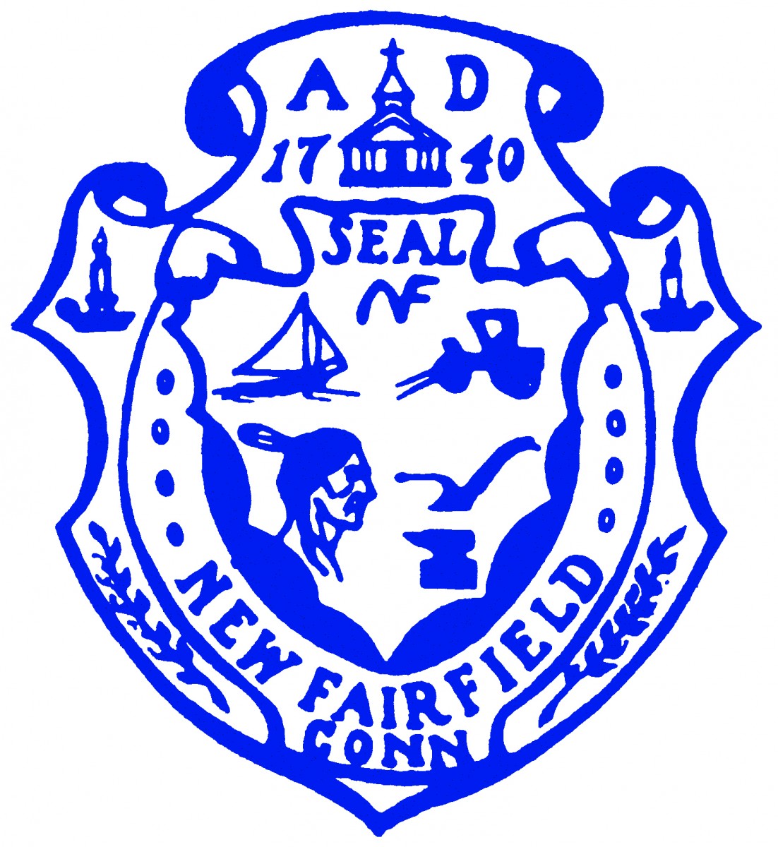
New Fairfield
Located on the New York border, with the City of Danbury to the south, the Town of Sherman to the north, and Candlewood Lake to the east, New Fairfield is a community of approximately 14,000 residents, and 25.1 square miles. It was incorporated in 1740. It is the home of Squantz Pond State Park and Candlewood Lake. It is a well known summer vacation community. Major commuting routes incude State Routes 37 and 39 and Milltown Road from New York State.
Visit town website: http://www.newfairfield.org
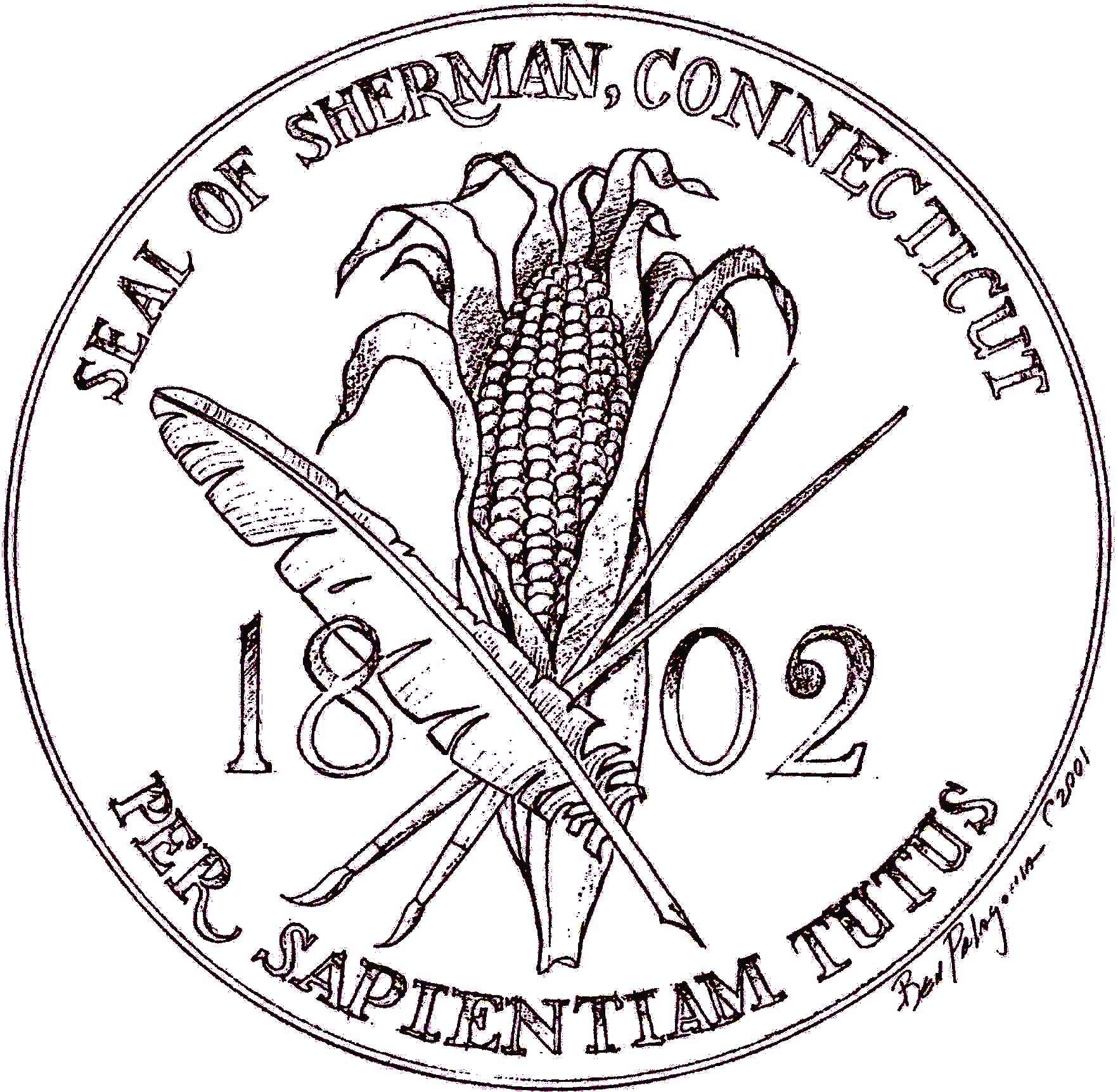
Sherman
The scenic Town of Sherman, incorporated in Oct. 1802, is located in the Housatonic Valley at the northern end of Candlewood Lake. We are a rural community of 23.4 square miles with a population, est., 4,106. Sherman is the northern most town in Fairfield County, accessed by state routes 39, 37 and 55. Sherman has an excellent K-8 School and our High School students have a choice of four area schools to attend. Our town's government is Board of Selectmen, Town Meeting
Visit town website: http://www.townofshermanct.org
